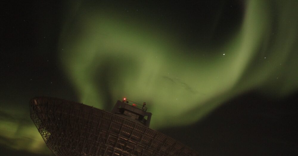
The ionosphere is the inner edge of space, starting at approximately 100-km altitude. Here, the neutral atmosphere interacts with electrically charged particles (plasma). In the polar regions of the ionosphere, the solar wind causes a large-scale circulation of plasma. This circulation is opposed by collisions with the neutral atmosphere. This tug-of-war leads to a host of phenomena which are both poorly understood, and potentially hazardous for human infrastructure in space and ground. For example, it causes rapid variations in the magnetic field that induce currents which can knock out the electric power grid in large regions. Our understanding of such variations is still limited and our ability to predict them is poor. An accurate description of the state of the ionosphere is crucial for understanding the physics of Earth’s coupling to space, including hazardous space weather phenomena. To this end, ground networks of magnetometer stations, GNSS receivers, optical instruments, and radars have been deployed, and are routinely used to map ionospheric parameters. However, the spatial coverage of such networks is naturally restricted by the distribution of land mass and access to necessary infrastructure. In regions with good coverage, maps of ionospheric electrodynamic parameters such as plasma convection, neutral winds, magnetic field perturbations, total electron content, and ionospheric currents, can be produced at high spatial and temporal resolution. However, mapping techniques for each of these parameters have been developed separately, and combining them into a complete picture of ionospheric electrodynamics has proven to be a very challenging task. To tackle this problem, this team brings together specialists within data analysis, measurement techniques, and modeling.
Understanding Mesoscale Ionospheric Electrodynamics Using Regional Data Assimilation
ISSI Team led by Laundal K.M.

