Image Credit: European Space Agency (ESA)
With the global context of climate change and the increasing human pressure, coasts and estuaries are more vulnerable and are currently facing an intensification of natural hazards. The evaluation of the vulnerability of these systems and their resilience is mostly based on their physical response to natural and anthropogenic disturbances. Assessing coastal resilience requires the integration of several scales, using high-accuracy datasets to enhance its multi-scale monitoring.
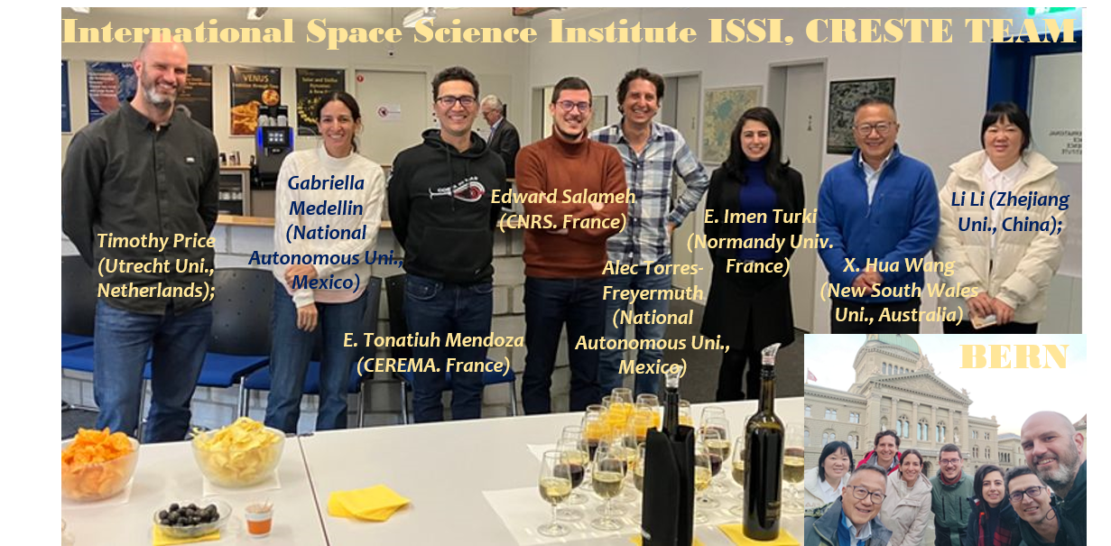
The European program CRESTE is developed by a multi-disciplinary international team of researchers from different countries (France, Netherlands, Mexico, Australia, China). CRESTE aims to investigate the contribution of remote sensing techniques for the assessment of coastal resilience of worldwide systems covering various environments.
CRESTE team: I. TURKI ( https://orcid.org/0000-0002-5919-2620); E. SALAMEH (https://orcid.org/0000-0002-7632-1420); E. T. MENDOZA ( https://orcid.org/0000-0003-4416-4253 ); T. PRICE ( https://orcid.org/0000-0003-3664-4417 ); A. TORRES FREYERMUTH ( https://orcid.org/0000-0003-0203-8734 ); G. MEDELLIN ( https://orcid.org/0000-0003-4358-7801 ); L. LI (https://orcid.org/0000-0003-3373-2999 ); X. H. WANG ( https://orcid.org/0000-0001-6483-0554 )